Search This Blog (A.K.A. "I Dote On...")
The Legend

1970 Population Density - St. Louis City

1980 Population Density - St. Louis City

1990 Population Density - St. Louis City

2000 Population Density - St. Louis City

These maps are from
Social Explorer. The website allows the user to create maps using census data from 1790 to 2000 for certain variables. Check it out. The flight of wealth out of the city is perhaps more interesting than the population density maps. Be sure to map that one out. For whatever reason, a gap exists at 1960. I could have gone farther, but did not want to skip this decade.
Anyhow, enjoy.
Why reinvent the wheel?

This was the St. Louis streetcar system from 1903.
Note the tiny blocks of Soulard and the old riverfront. Compare them to the newer developments in the city's fashionable West End.
It's also cool to see a map of the entire city prior to the destruction caused by the interstate system and urban renewal.
This was a connected city--sound urbanism before there was a negative to truly contrast with (exemplified by today's second generation suburbia and exurbia).
As was broken by the Post-Dispatch today, Google finally added St. Louis to the list of cities with Google Maps Street View features!
Go to maps.google.com, type in your St. Louis address, hit Street View, and surf away!
Very nice!
I checked out my parents house, which was totally decked out in Halloween decor, so I'm taking it these photos were taken around October 2007.
Enjoy.
Doing a search for "restaurants" along Manchester in the Grove, I stumbled upon what I believe is a new feature of Yahoo! Maps: neighborhood boundaries.
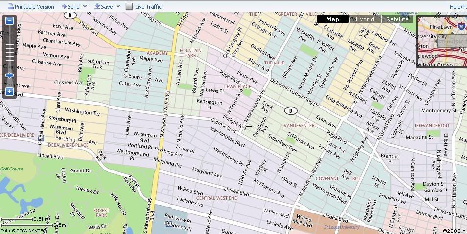
Amazing!
For good measure, I checked Chicago and New Orleans to see if their nabes were so gracefully displayed as well. Indeed, Chicago's Wicker Park and New Orleans' Treme are featured alongside their respective neighborhood neighbors.
I used to despise Yahoo Maps. Their previous role seemed to be almost making Google look like a godsend in comparison. I still enjoy Google Maps (much quicker and more reliable), but Yahoo is on my radar.
Check it out.
Dotage St. Louis -- Blogging the St. Louis Built Environment Since 2008
Topics: Historic Preservation, Politics and Government, Development, Architecture, Urban Planning, Urban Design, Local Business, Crime and Safety, Neighborhoods, and Anything Else Relating to Making St. Louis a Better City!


